



Solutions Solution Model
In preparation for increasingly severe natural disasters, and to protect livelihoods and businesses while minimizing damage, Pacific Consultants integrates disaster prevention technology and digital technology to provide multifaceted support for improving the resilience of companies and communities both domestically and internationally. On this page, we introduce our water disaster risk consulting service for factories and GFIA 3D as examples of our work.
Water disaster risk consulting services for factories
Visualize flood risk and implement highly cost-effective countermeasures.
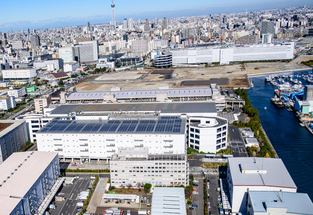
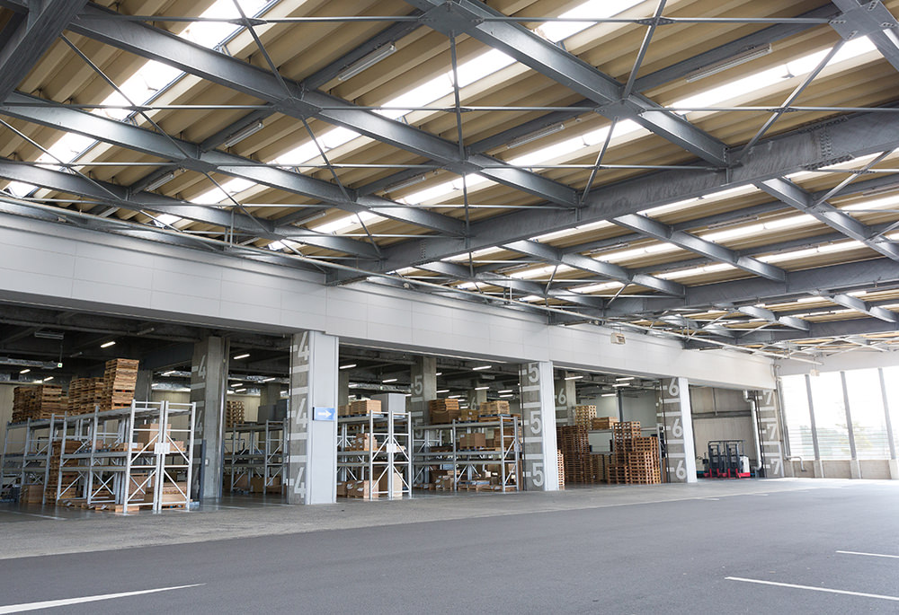
From water disaster risk assessment at business sites to countermeasure planning,
We provide comprehensive support, from BCP (Business Continuity Plan) development to training assistance.
For factories, logistics centers, and energy-related facilities, damage from floods, inland flooding, and storm surges can lead to operational shutdowns and disruptions to supply chains, significantly impacting business continuity. Our water disaster risk consulting service for factories assesses disaster risks from floods, inland flooding, and storm surges, and provides comprehensive support for measures to ensure the safety of human lives and equipment, as well as business continuity.
Experts in disaster prevention, river management, ports and harbors, and architecture collaborate to provide end-to-end support, from visualizing flood risk and damage assessment to prioritizing investments in countermeasures, planning and designing countermeasures, incorporating them into BCP/BCM, and providing training support. We also offer ad-hoc support tailored to the specific challenges and stages of consideration, from initial screening and diagnosis to detailed risk assessment, countermeasure planning, and BCP development.
Through this support, we visualize flood risks, anticipated damage, and the effectiveness of countermeasures, clarifying which measures should be prioritized within limited budgets. We also propose optimal measures that take into account both effectiveness and return on investment. Furthermore, by providing ongoing support from disaster risk assessment to implementation of countermeasures, training, and operation, we support the construction of a resilient business foundation that leads to damage mitigation and early recovery.
| Main support achievements | Water disaster risk assessment and countermeasures study at manufacturing sites for food, materials, machinery, energy, etc. |
|---|---|
| Corresponding hazard lights | Flood/Inland flood/Storm surge/Complex disaster |
| Applicable industries and facilities | Food manufacturing plants / Materials and machinery manufacturing plants / Energy-related facilities / Coastal factories / Business offices / Multiple-site factories |
| Support details | Screening / Hazard assessment / Risk assessment / Countermeasure planning / Design and operation / BCP development and training support |
GFIA 3D(Global Flood Disaster Instant Analysis 3D)
Satellite image analysis and hydraulic analysis enable rapid and highly accurate assessment of disaster damage, supporting decision-making.
Rapid and highly accurate analysis and visualization of global flooding conditions.
In recent years, climate change has led to more frequent and severe flood disasters worldwide, making it increasingly important to quickly and accurately assess the extent of the damage. GFIA 3D is a service that uses satellite imagery and topographic data, combining satellite image analysis with hydraulic analysis to provide highly accurate and rapid analysis and information on global flood coverage, damage, and contributing factors.
We support decision-making by government agencies and businesses by providing necessary information promptly, from assessing the situation immediately after a disaster to considering recovery and reconstruction plans. Furthermore, the results of damage analysis can be used to consider future disaster prevention and mitigation measures, as well as to improve regional resilience.
By utilizing satellite data and analytical techniques, we can visualize the situation of widespread disasters even in areas that are inaccessible, thereby supporting faster and more effective disaster response.
| Usage Scenarios | Damage assessment in the event of a disaster / Consideration of recovery and reconstruction plans / Consideration of disaster prevention and mitigation measures / Risk assessment |
|---|---|
| Corresponding hazard lights | Large-scale flooding/inland flooding |
| Target users | Government agencies / Private companies / Infrastructure managers / Research institutions |
| What we offer | Damage overview / Flooded area / Damage situation / Causes of the damage / Decision-making support |