Achievement Summary
| Categories | |
|---|---|
| Purpose | Demonstration verification of point cloud data for BIM/CIM deployment in the road sector |
| Facilities available | Tsukuba Research Center (Entire site) |
| period | FY 2019 (Heisei 31) - FY 2020 (Reiwa 2) |
Experimental Scene
With the aim of promoting the development of BIM/CIM in the road sector through the demonstration and verification of point cloud data, surveying was carried out using state-of-the-art UAV lasers on the grounds of the Tsukuba Research Center.
The purpose is to confirm the detection accuracy of the ground surface "under dense vegetation," which cannot be captured by conventional UAV photo image measurement. Basic verification is being conducted on the biotope and plantings on the premises to see whether the laser can reach the ground surface and construct the topography, both when leaves are falling (winter) and when the ground is lush (summer).
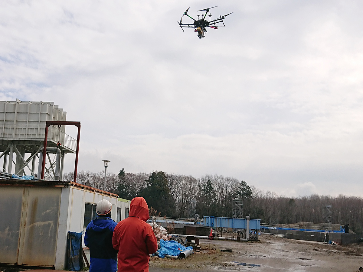
Drone
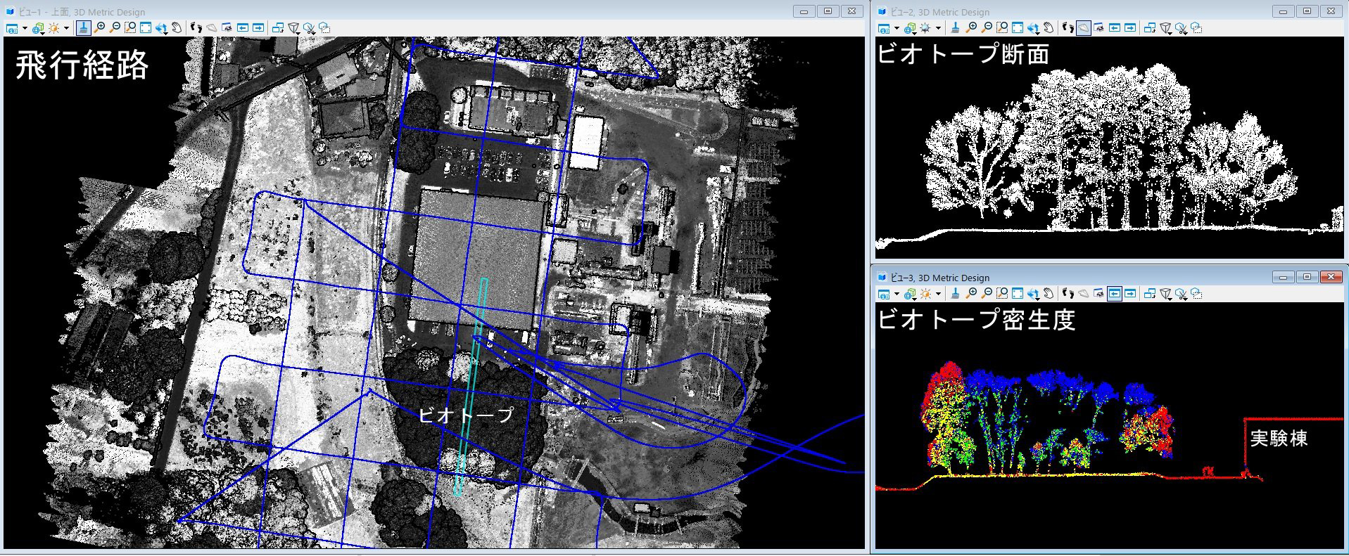
Analysis results